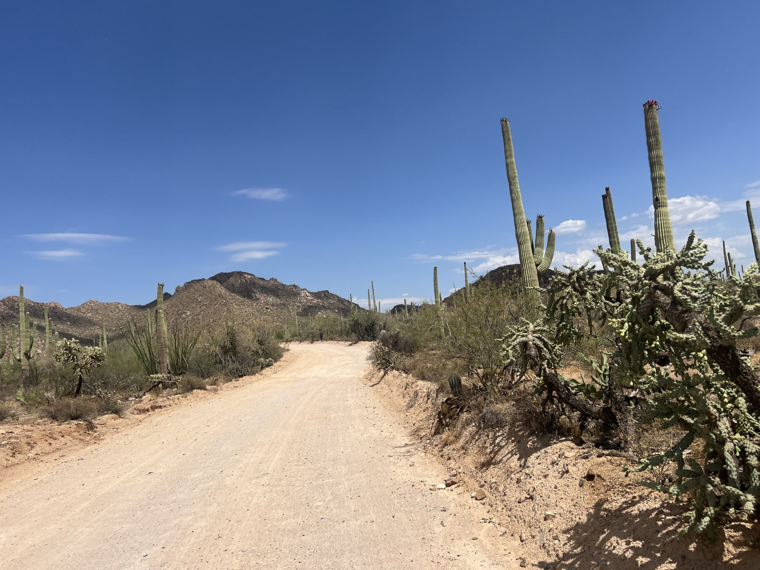
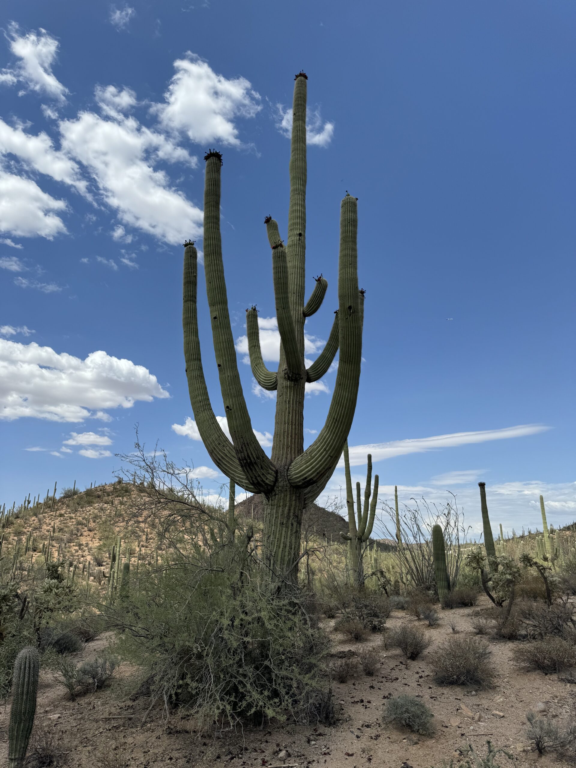
Saguaro National Park, located in southern Arizona, is a desert landscape home to the iconic saguaro cactus. We visited in the middle of the summer, making it less than ideal to do much hiking, but found the roads through the park to be more than enough to experience these often wild and crazy-looking cactuses.
Planning Your Visit
The park is divided into two districts that are approximately 45 minutes apart on either side of the city. On the east side is the Rincon Mountain District and on the west side is the Tucson Mountain District. Both sides have a visitor center but only the east side has an entrance gate where you will either need to pay the entrance fee or show your park pass.

Must See Attractions
East Side – Rincon Mountain District
Cactus Forest Drive – this 8-mile loop offers views of the saguaro cactus forest. The are numerous pullouts that provide opportunities for short hikes, photography, and wildlife viewing. Our girls loved seeing the roadrunners as it was a first for them!
The loop on the east side is also paved, making it easy to drive around quickly. And honestly, that’s what we did. We had an inkling that the west side was better and after driving the loop on the east, we were hopeful that was the case!
Desert Ecology Trail – This hike coming in at a whopping 0.3 miles is paved and has lots of interpretive signs lining the trail with information on the history of this area, the wildlife, and the plants in the area. There is no shade, but that is to be expected…in the desert!
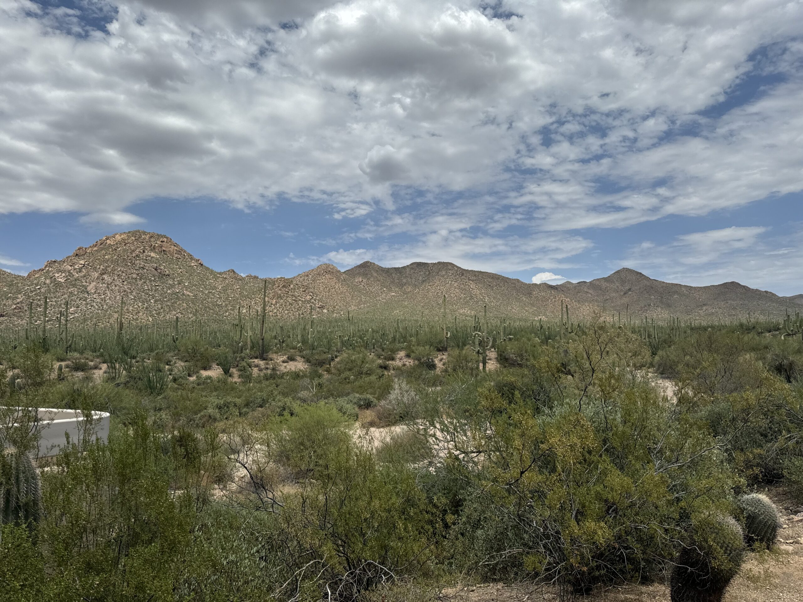
West Side – Tucson Mountain District
Bajada Loop Drive – this 6-mile loop is the main way to explore the district’s foothills. This loop is an unpaved, graded dirt road that offers scenic pullouts, picnic areas, and hiking trailheads. We enjoyed this loop much better than the east side because of both the more dense cacti as well as the unpaved road – it made it feel like we were in the desert and part of the landscape around us.
Signal Hill Petroglyphs Trail – This easy hike is about 0.3 miles long and leads to a hilltop with over 200 prehistoric petroglyphs created by the Hohokam people between 550 and 1450 AD and offers a glimpse into the region’s cultural history. The petroglyphs are etched into large boulders and depict a variety of geometric shapes, animals, and human figures.
Valley View Overlook Trail – This 0.8-mile trail winds through a classic Sonoran Desert landscape with plenty of panoramic views of the towering saguaro cacti. It’s relatively easy and features interpretive signs about the desert ecosystem, plants, and animals. The highlight of the hike is the overlook at the end of the trail where you see sweeping views of the Avra Valley and mountains in the distance.
The Great Debate – East vs. West
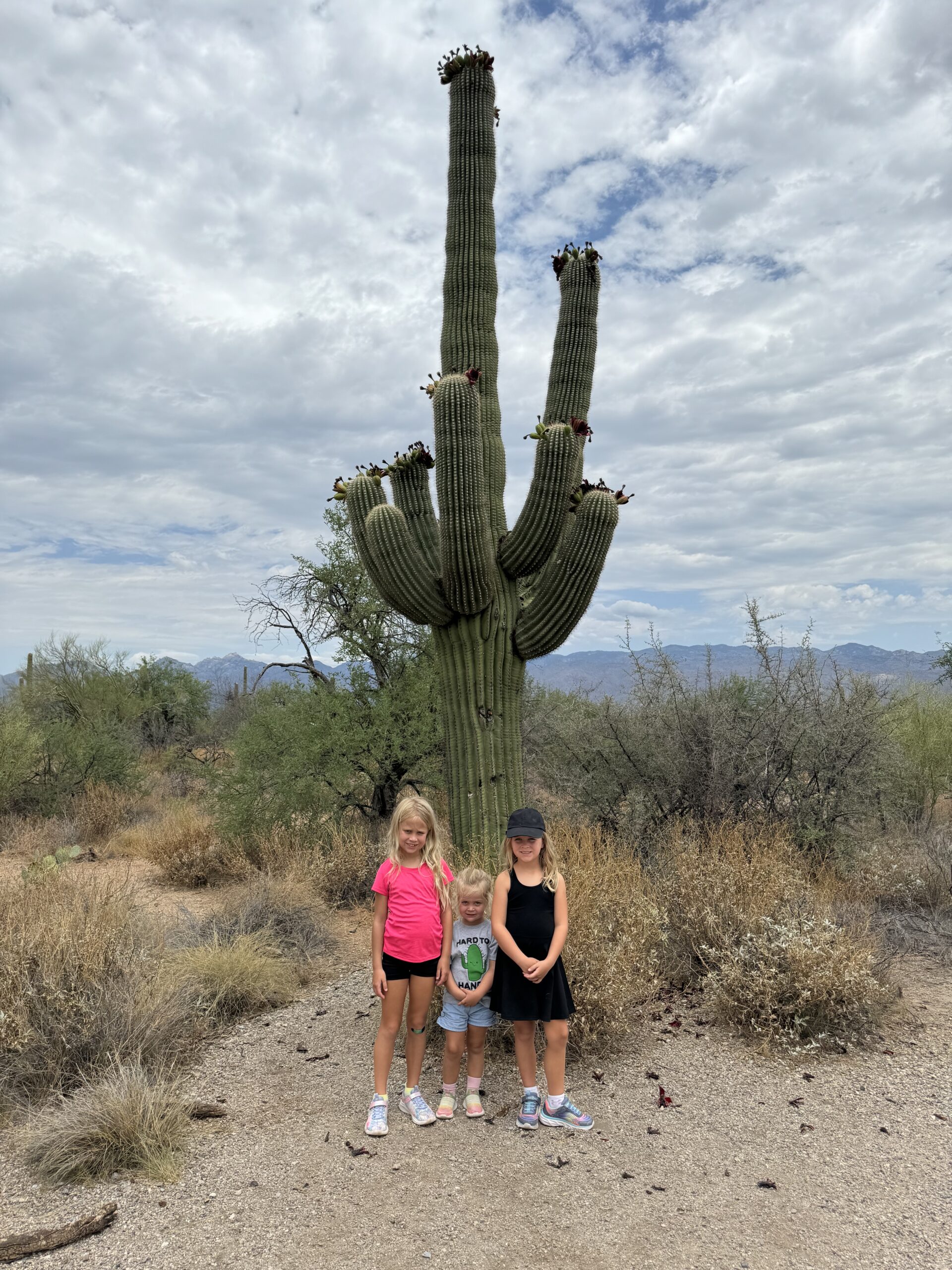
If you are a National Park fanatic, then you have no choice but to check out both sides. However, if you are crunched for time or just want to see the best cactuses the park has to offer, without hesitation, we can say skip the east side and head directly to the west side of the park. The Tucson Mountain District offers a much better experience in terms of Cactus size and density, and the unpaved road makes you feel like you are traveling through the desert to see them. We spent very little time on the east side and tried to get through the loop as quickly as we possibly could. When we made it to the west side, we were happy to have sped through the east side so quickly in favor of spending time on the west side. Either way, spending two hours on each side of the park is more than enough time to take it all in.
